Dedicated to the increase and diffusion of knowledge about how the nation's lands are apportioned, utilized, and perceived
The Lay of the Land
The Center for Land Use Interpretation Newsletter
Mud Island
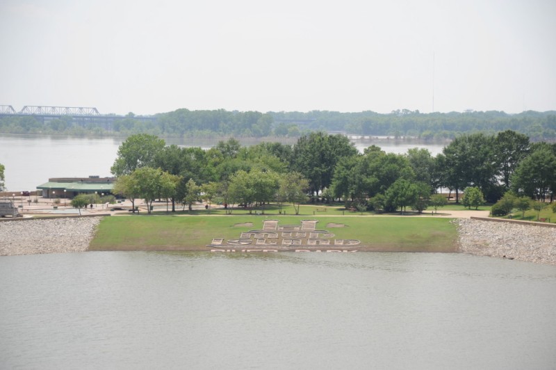
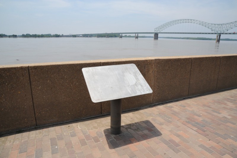
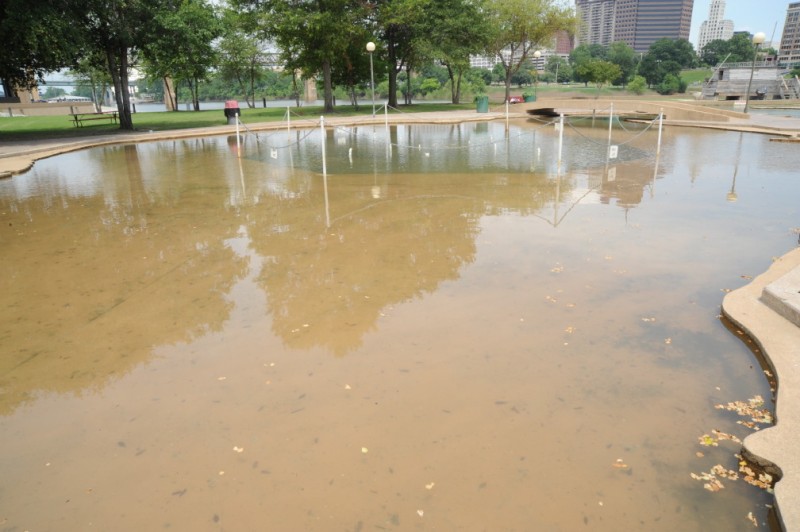
Mud Island River Park, with the Mississippi River flooding the sign.
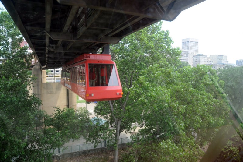
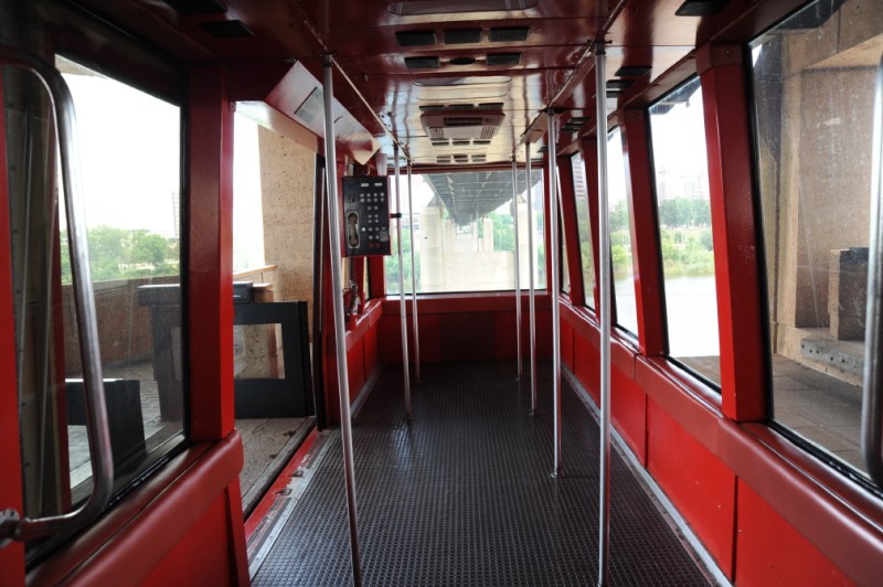
The monorail to Mud Island.
The monorail to Mud Island.
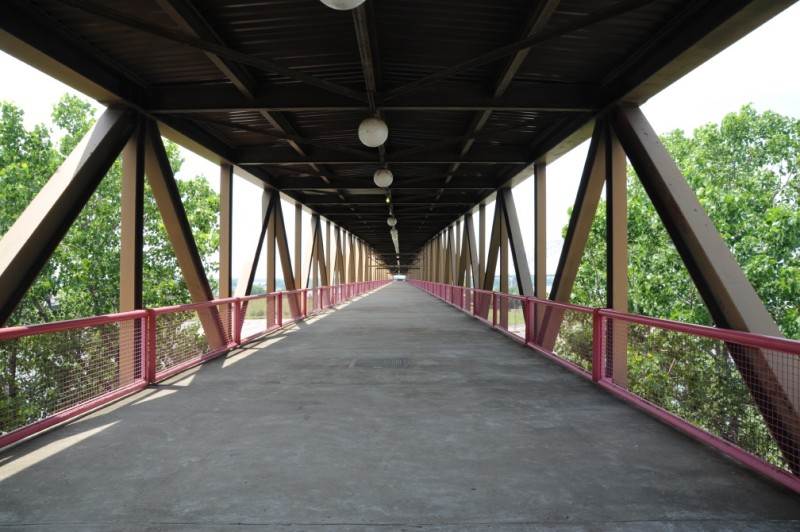
The pedestrian bridge to Mud Island.
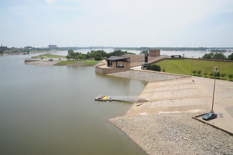
Approaching Mud Island, with boat ramp.
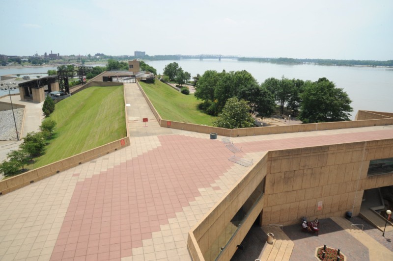
Mud Island, southern view, with roof of the Museum.
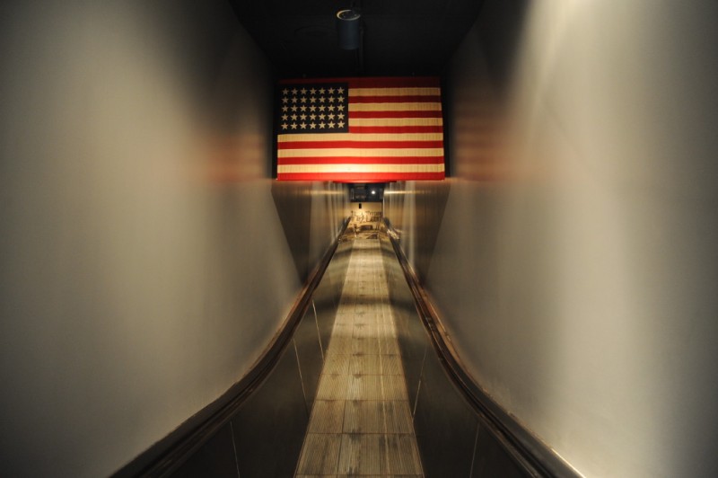
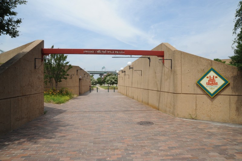
Entrance to the Museum at Mud Island.
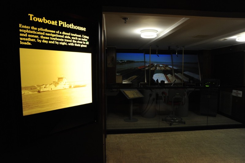
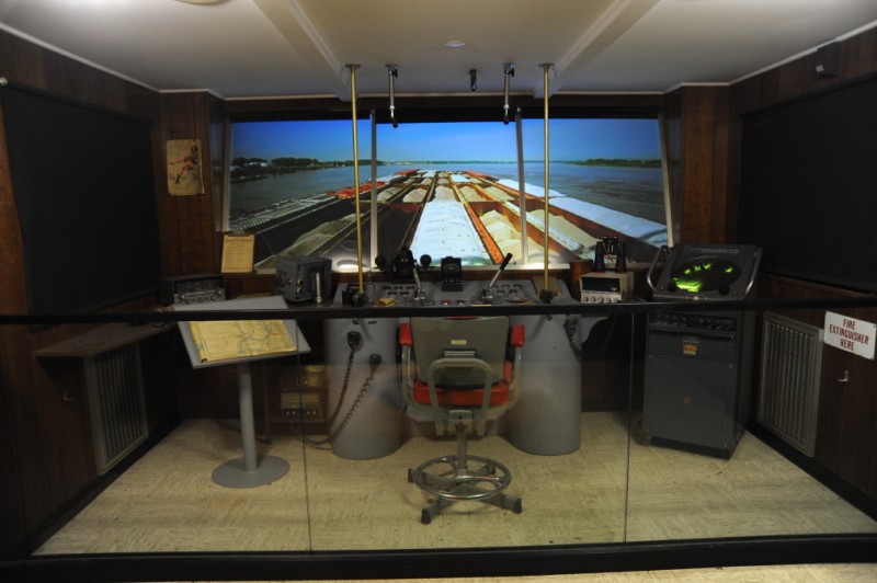
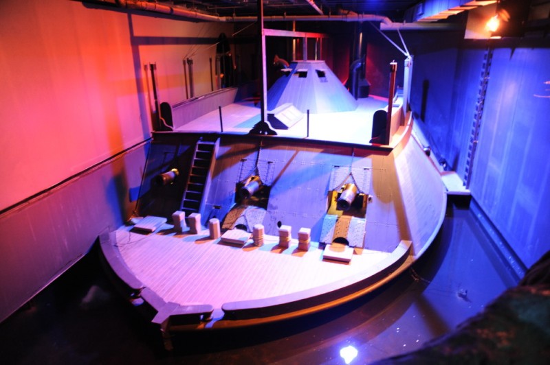
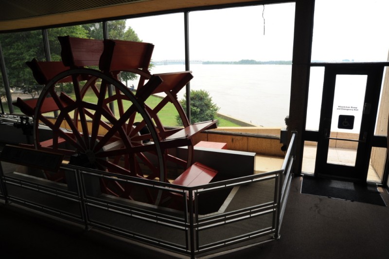
The Museum at Mud Island.
The Museum at Mud Island.
The Museum at Mud Island.
The Museum at Mud Island.
The Museum at Mud Island.
The Museum at Mud Island.
The Museum at Mud Island.
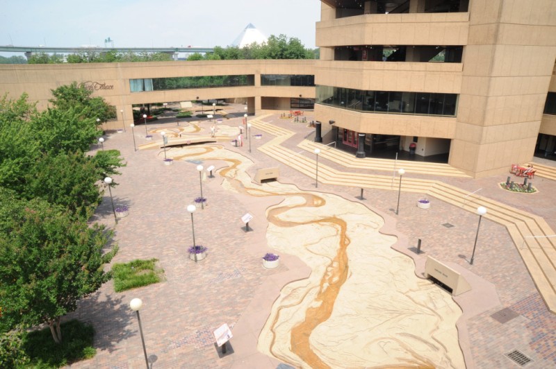
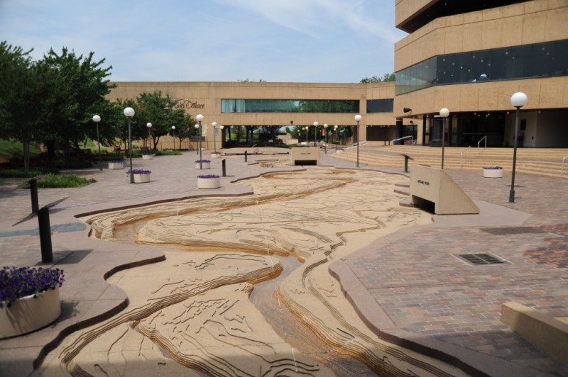
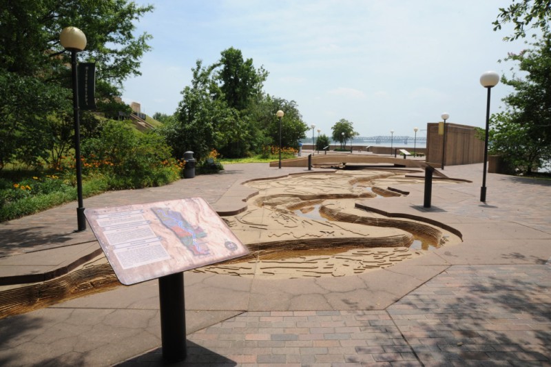
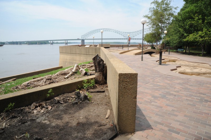
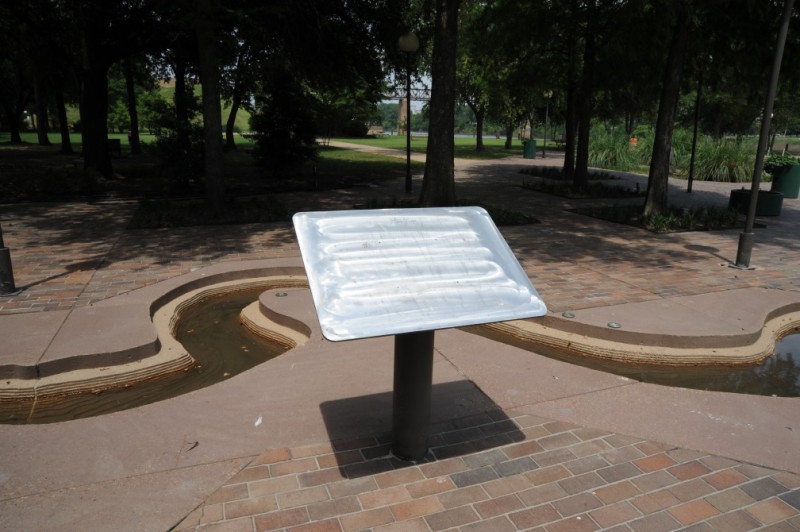
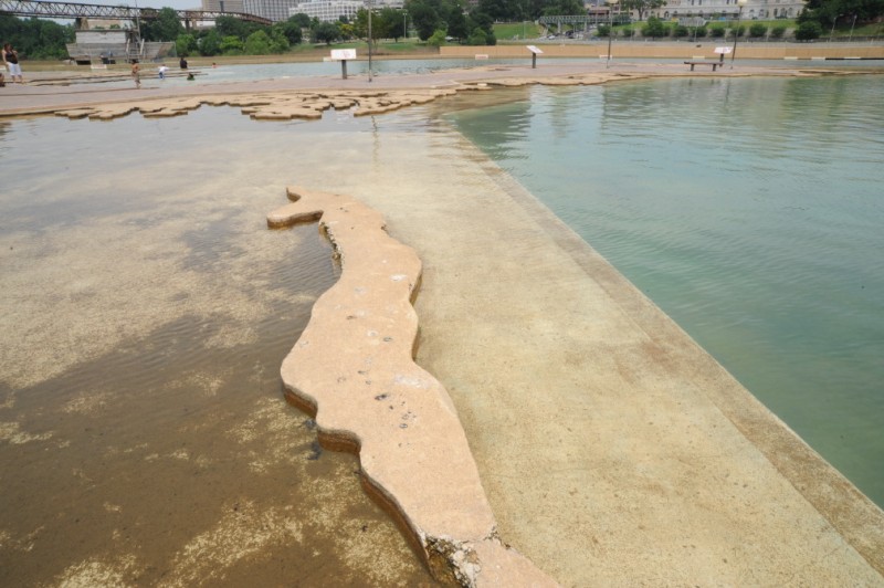
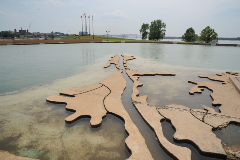
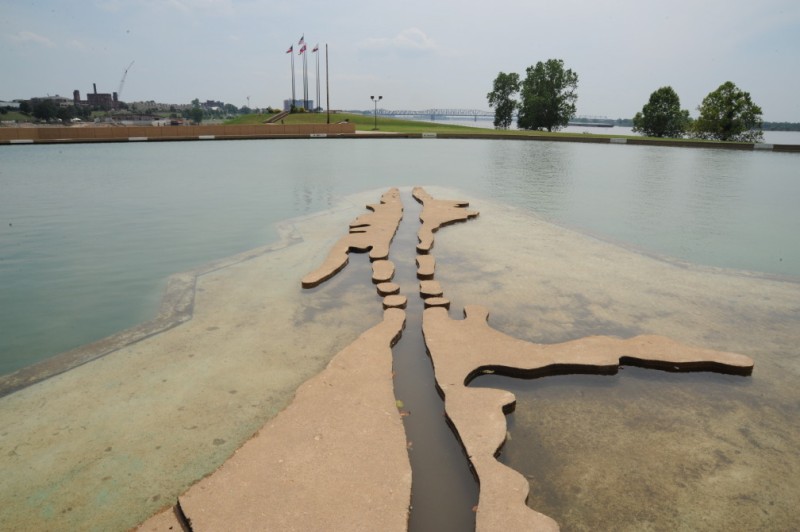
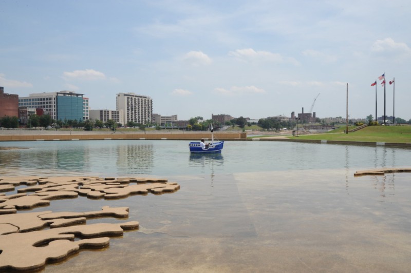
View of the Riverwalk, Mud Island, Mississippi.
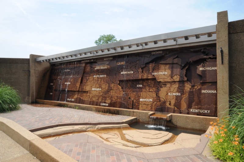
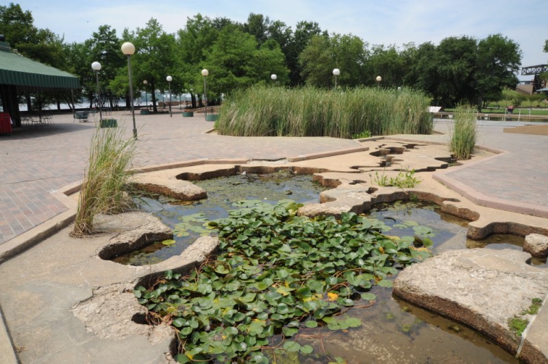
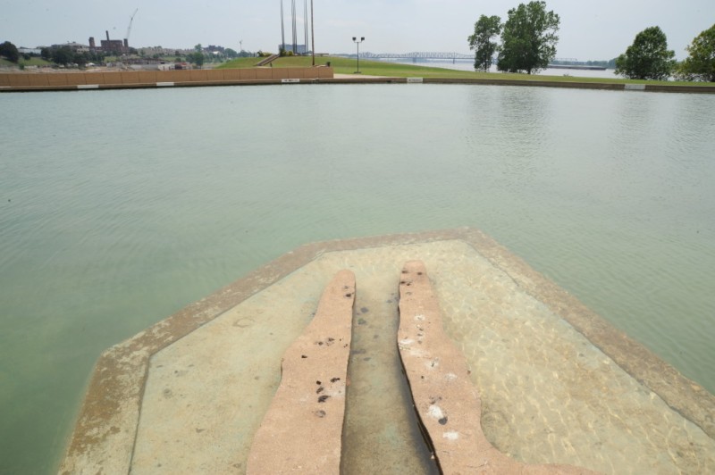
North entrance to Riverwalk (the interpretive headwaters).
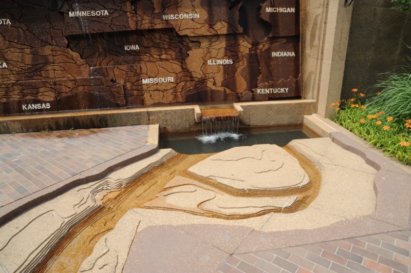
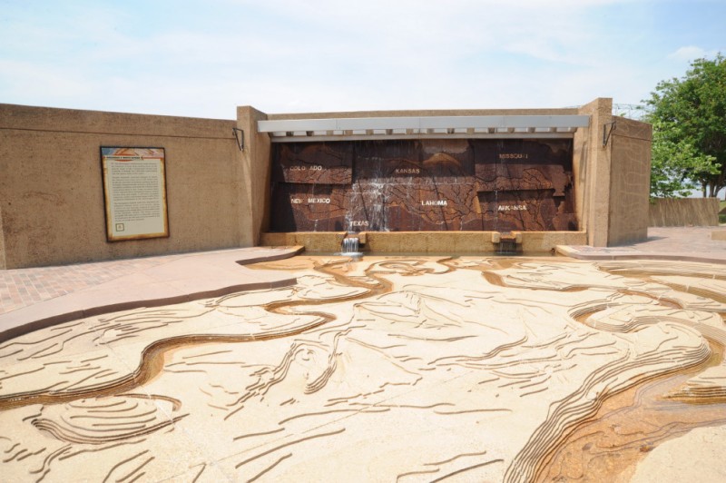
Riverwalk’s Mississippi headwaters: The upper Mississippi River Watershed Wall.
Riverwalk’s Mississippi headwaters: The upper Mississippi River Watershed Wall.
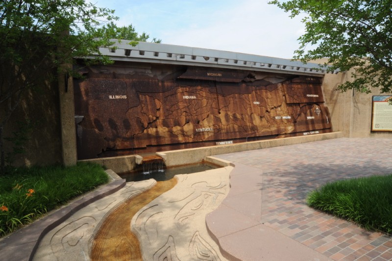
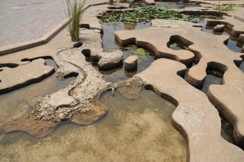
Riverwalk’s Mississippi headwaters: The Ohio River Watershed Wall.
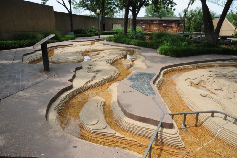
Cairo, Illinois, at the confluence of the Ohio River and the Mississippi, Mile 954, Above the Head of Passes (the downstream end of the Mississippi).
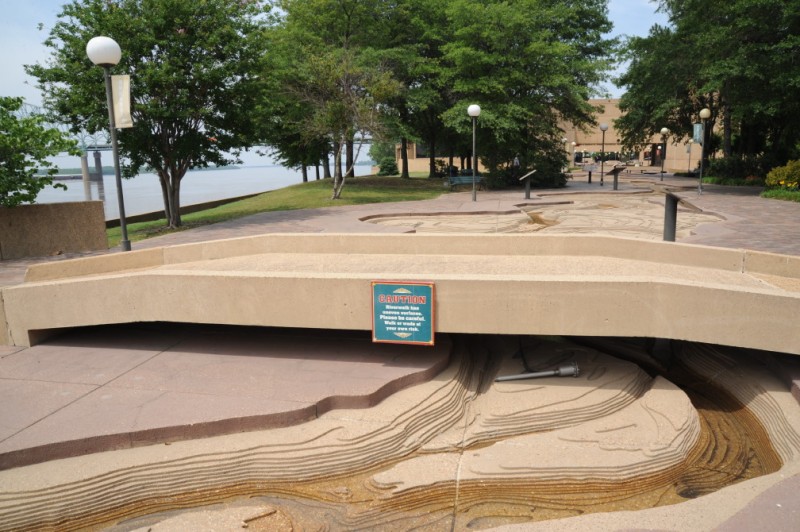
The New Madrid Floodway drain.
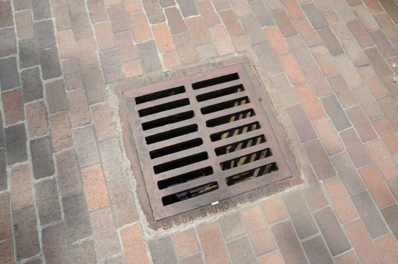
Riverwalk walkway drain.
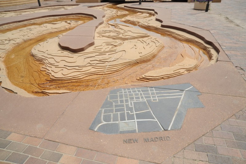
Town of New Madrid, Missouri.
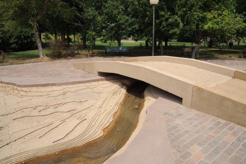
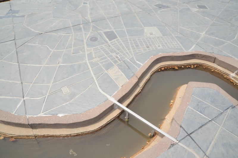
Pedestrian bridge over Riverwalk Mississppi.
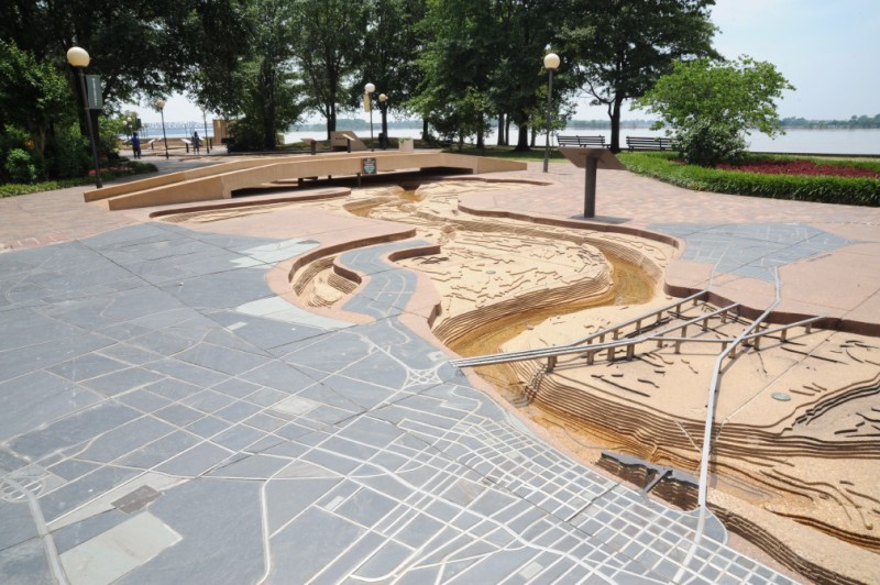
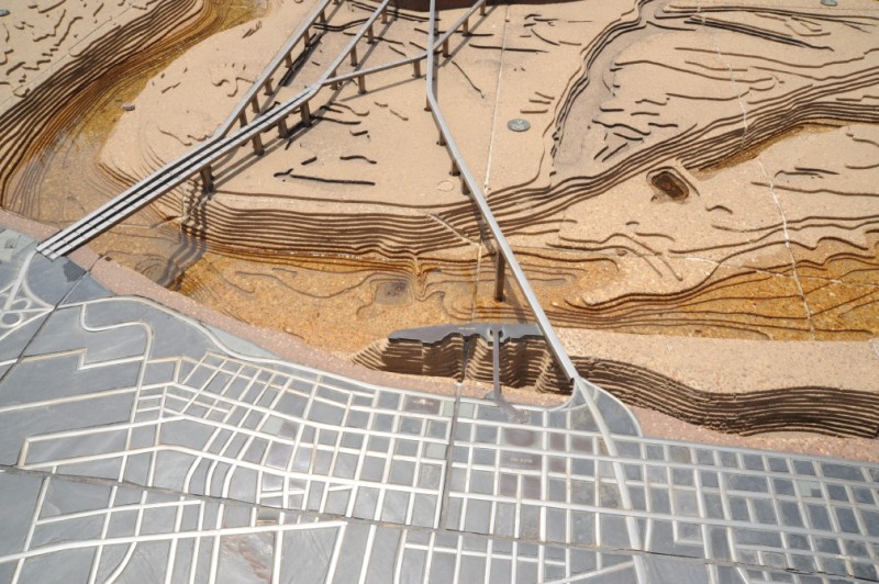
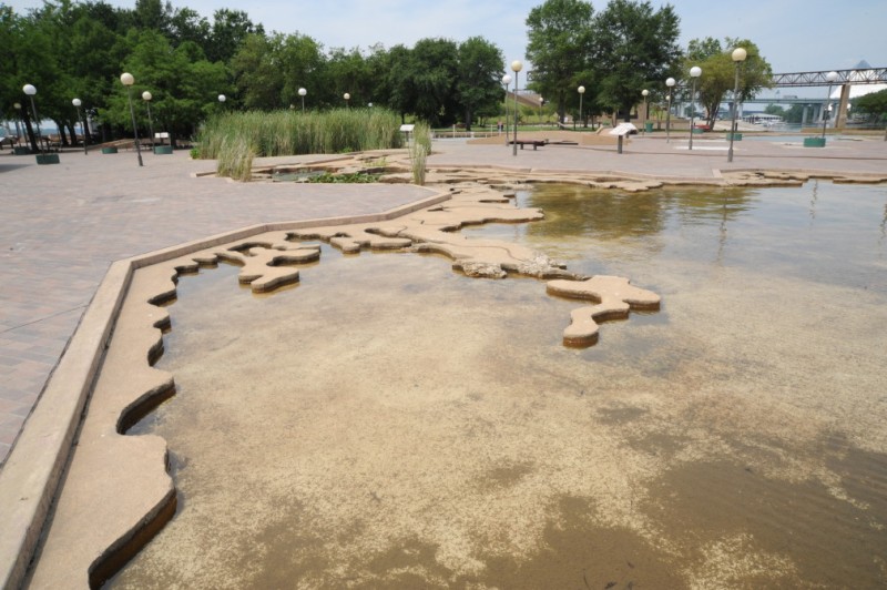
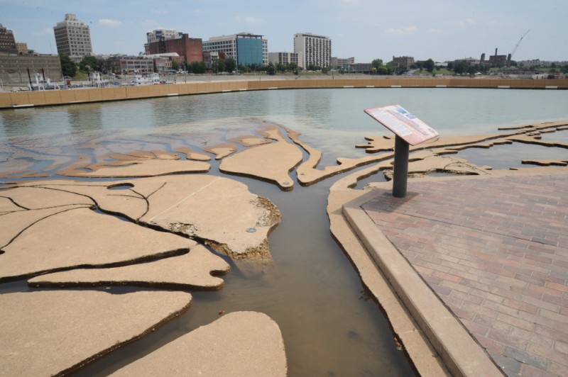
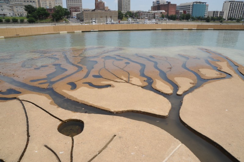
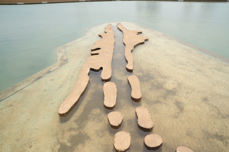
The Hatchie River and Obion River enter the Mississippi River channel in the central courtyard of the Riverwalk model.
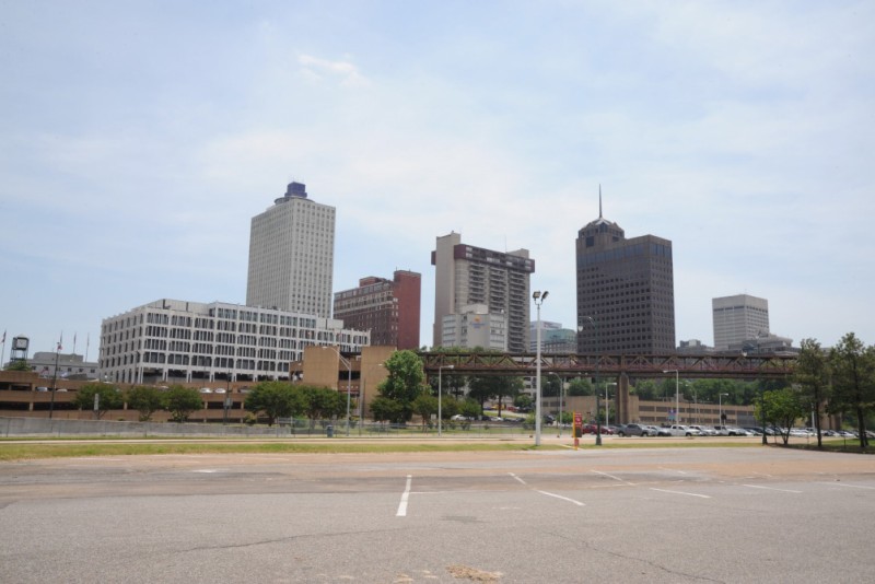
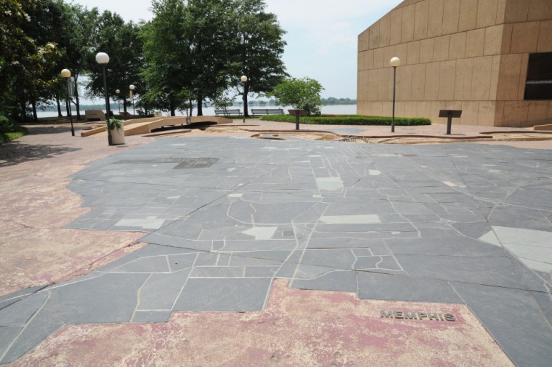
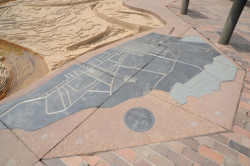
Memphis on the model.
Memphis on the model.
Memphis next to the model.
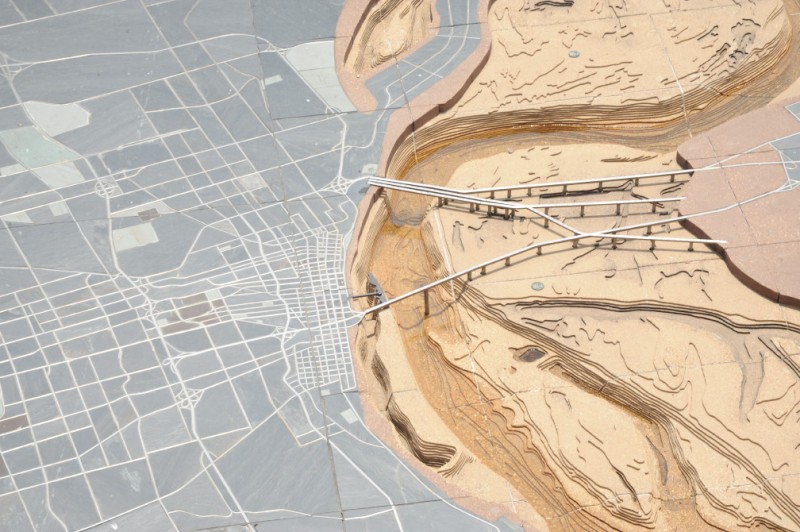
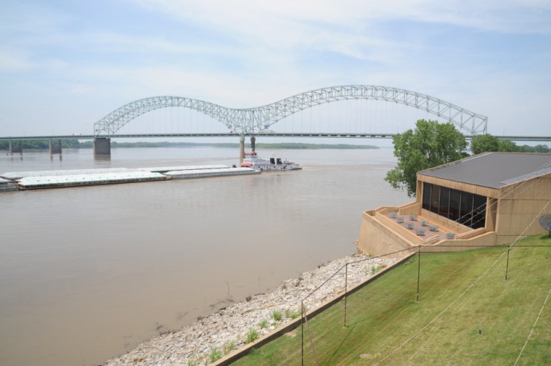
Interstate 40 bridge on the model.
Interstate 40 bridge from the model.
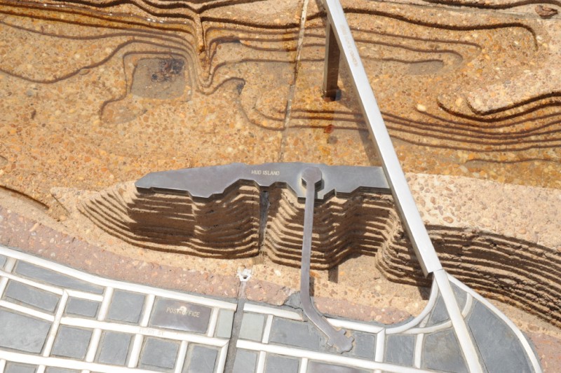
Mud Island on the map of the Mississippi on Mud Island.
Memphis’ sprawl eastward.
Graceland on the model.
Horseshoe Cutoff, Mile 660 Above Head of Passes.
The Arkansas and White Rivers flowing into the model through Watershed Wall.
Mud Island arena emergency exit.
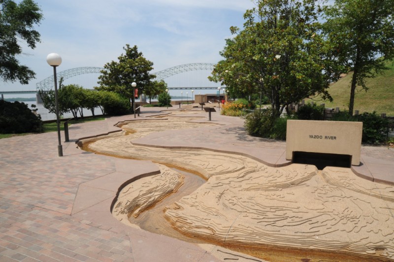
Yazoo River tributary structure.
Vicksburg Mississippi on the model, home of the Army Corps of Engineers Waterways Experiment Station, the headquarters for Mississippi River flood control and navigation engineering.
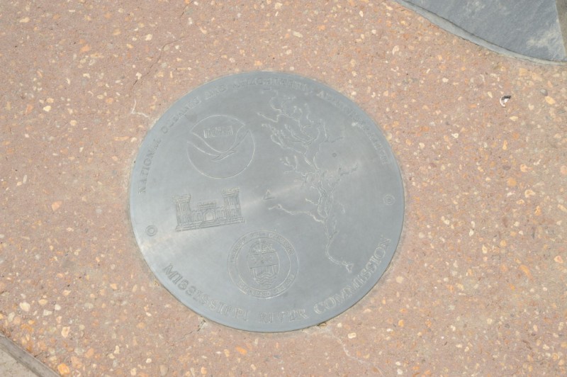
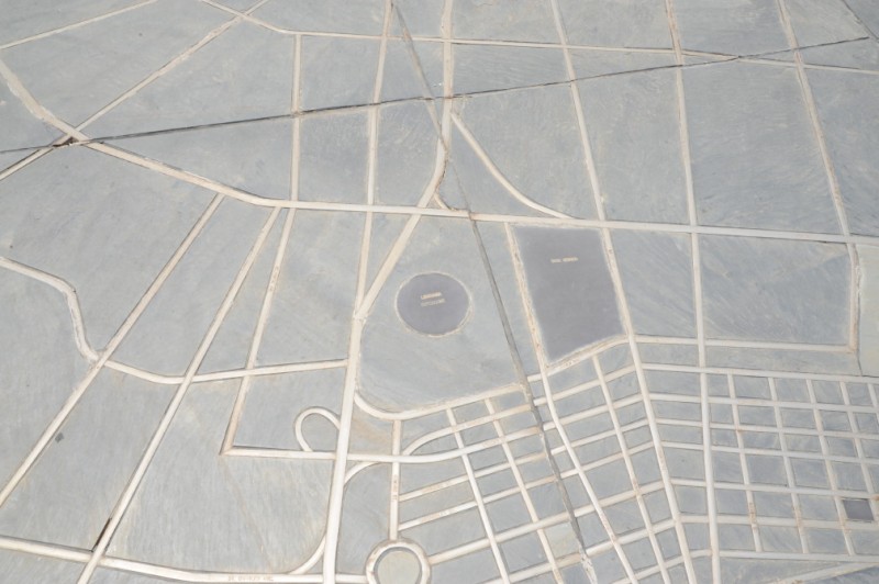
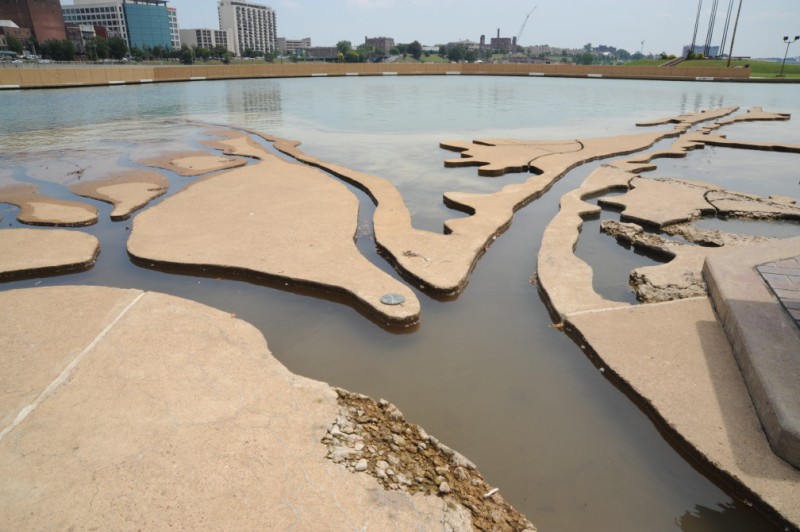
A medallion marks the site.
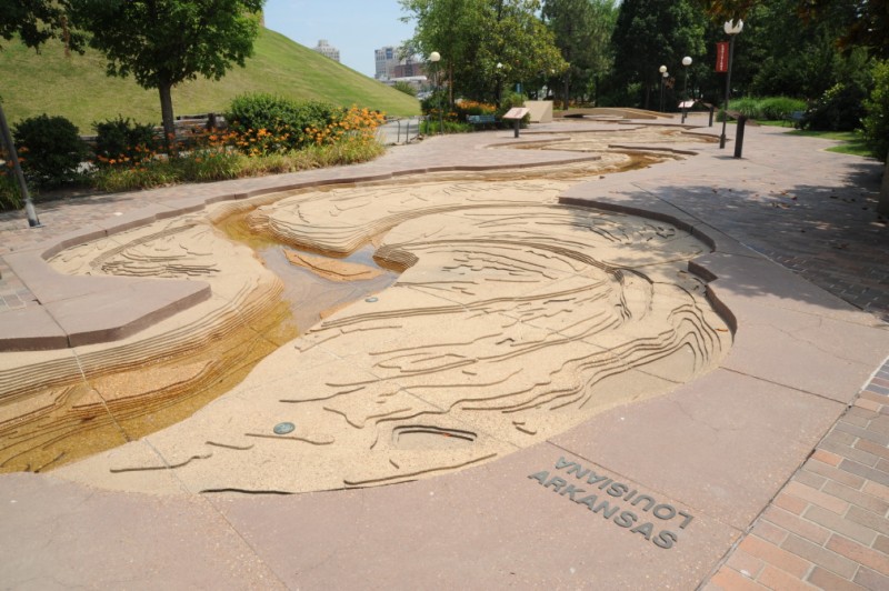
Arkansas Louisiana state line.
Unremarkable overlook.
Unnamed bridge.
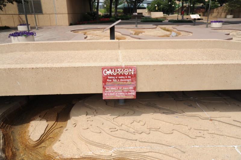
The Mississippi floodwall protects the model from flooding by the main river, up to a point.
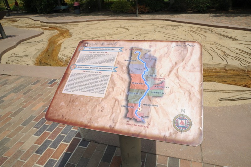
Waterproof, Louisiana, Mile 381 above Head of Passes.
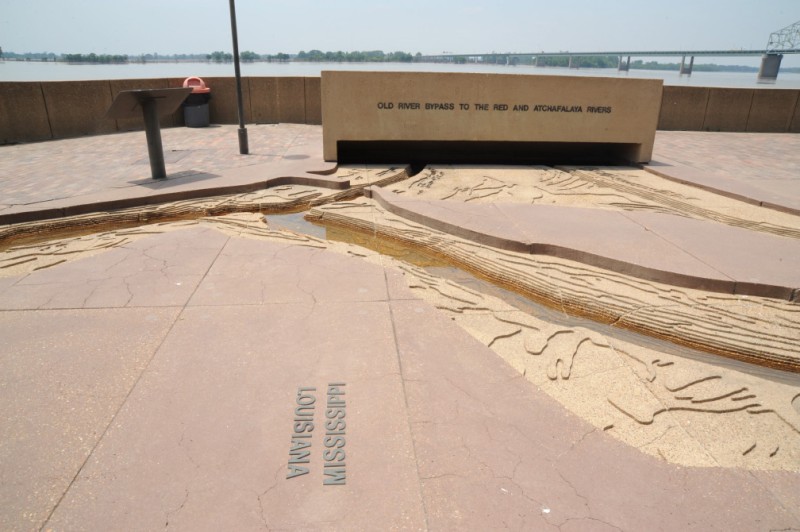
Old River control structure at the Mississippi Louisiana state line.
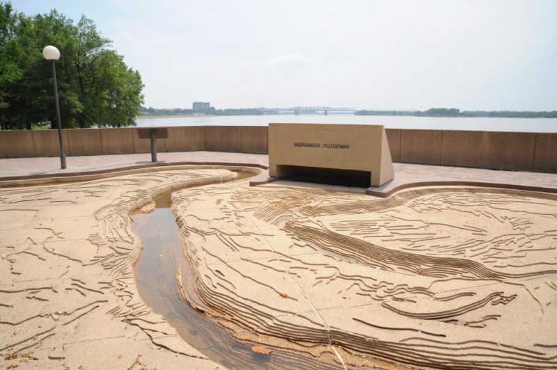
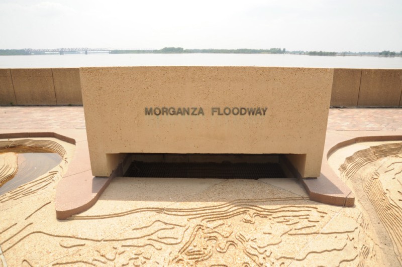
Morganza Floodway drain.
Morganza Floodway drain.
Unnamed bridge.
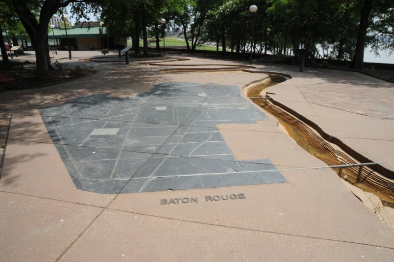
Baton Rouge, Louisiana.
Unremarked landmark.
Another unremarked landmark.
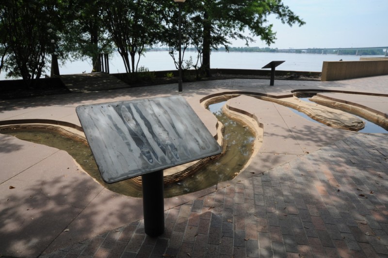
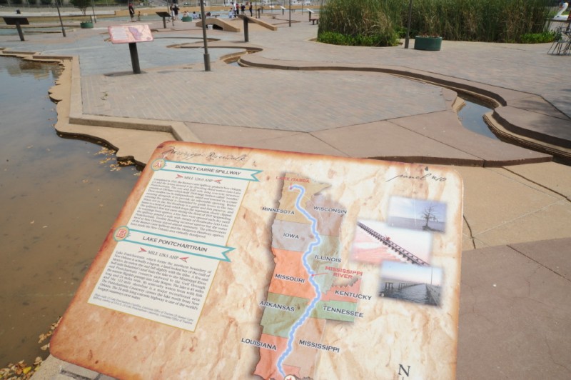
Bonnet Carrie Spillway, Mile 128 Above Head of Passes, protects New Orleans from flooding by diverting water into Lake Pontchartrain.
Lake Pontchartrain.
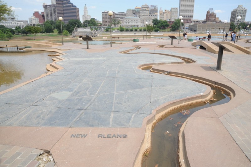
New Orleans.
New Orleans bridge over Mississippi.
French Quarter and Superdome.
Barataria Bay.
Swamps.
Swamps.
Grand Isle, a barrier island, next to the Gulf of Mexico.
Head of Passes, Mile Zero of the Mississippi River.
Pass a L’Outre.
Disappearing marsh.
Southwest Pass, the main mouth of the Mississippi River, entering the Gulf of Mexico.
Southwest Pass, the main mouth of the Mississippi River, entering the Gulf of Mexico.
Southwest Pass, the main mouth of the Mississippi River, entering the Gulf of Mexico.
Southwest Pass, the main mouth of the Mississippi River, entering the Gulf of Mexico.